The 10 Best GIS Software
GIS software’s basic purpose is to develop, analyze and store geographical and spatial data of any kind.
GIS software can be used in the production of various kinds of geographic information like maps. It can be a valuable tool for an organization which wants to display spatial data. GIS software stores data in the form of lines and points.
Check all tools discussed here in detail and think about your needs. By the end of this article, you’ll know exactly which one is right for you.
1. Maptitude
The most important thing for a GIS software is its relational database – it helps in the development of the final image. Maptitude has a strong relational database which can be used by developers.
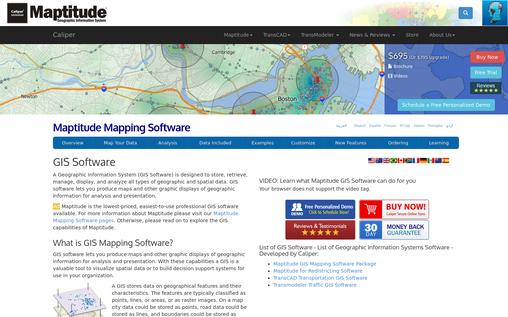
Other features of Maptitude are explained below
- The software allows the easy creation of a customized map view which can be used for presentation.
- Another feature of the software is its explicit control of factors like scale.
- Layer control is extensive in Maptitude, allowing control of color and fonts in the layers. It also allows changes in the scale of the layer according to the main scale.
- Geocoding is simple as the software allows pinning of multiple geocodes without any hassles.
- The price of the software starts at $695 and can vary depending on the number of users that will be working with the software.
2. Cadcorp’s Mapping GIS solution
CadCorp offers a range of solutions to meet the GIS requirements of organizations. Two top tools offered by them include Cadcorp's spatial information system (CadSIS) and MapExpress.
While CadSIS is a software that can be utilized for the building of maps, MapExpress is the free counterpart that can be utilized for reading the maps.
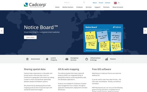
Following are the major feature of the software CadSIS
- CadSIS comes with a host of developer features for the desktop version which allows for easy creation and configuration of maps.
- The software also allows organizations to select a server for the storage and retrieval of data depending on their budget.
- The product comes with many extensions which can be used for different purposes like address mapping, loading of the Gazetteer data, editing of spatial metadata etc.
- This Software has been utilized by both the government and the private sector for their GIS needs.
3. ESRI’ ArcGIS
This GIS software by ESRI comes with a host of solutions which can be utilized by any organization and can be customized according to its needs. It includes a desktop version, a server version, a developer version, and solution tools.
It is the perfect choice for many companies and has been adopted by many governments. Some examples where the software is being used include the transportation system, natural hazards, voting system and more.
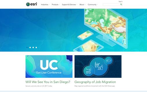
The following features make it perfect for many uses:
- The software allows for easy development of maps using existing databases which can take input in 70 different forms.
- ESRI’s desktop version allows geocoding of information.
- Information in maps developed using this software can be customized.
- Last but not least, the software allows users to customize information according to client needs.
4. Cartographica’s MacGIS
While the software discussed above are mainly for Windows, Cartographica is the perfect solution for Mac. The software starts at $495 and comes with a range of features that can be utilized by developers.
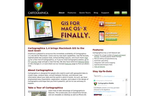
Some of the best features of the software include:
- Flexible import of data allows for the use of a wide range of files for conversion in maps making life easier for developers.
- Like Windows software, Cartographica allows customization of map views. Touch ups are possible directly on the map.
- In order to help developers, the software allows undoing which erases changes and brings back the original file. This nullifies the fear of rework because of mistakes.
- The software allows simultaneous browsing of maps and data.
5. Integraph
Integraph is a range of services offered by Hexagon Safety and Infrastructure. It is made for governments and the private sector.
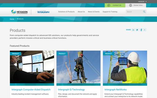
Following are the major features offered by Integraph:
- It has Computer Aided Dispatch for the mapping of incidents. It allows handling and dispatch during specific incidents along with field mapping and data reporting.
- This software has Integraph’s G/Technology. It uses GIS software to present location-based information about different areas to clients and customers.
- Integraph Networks allows the enterprise to access data for location-based engineering across the organization.
6. EasyTrace
EasyTrace software is another GIS solution which comes in both Free and Pro versions. Its downloadable format is perfect for all kinds of GIS-related needs. While basic features like viewing and geocoding are available in the Free version, the Pro version has many additional features which are listed below.
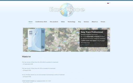
Features
- The software allows for image processing customization according to the needs of the user.
- Automatic tracking and object recognition are two tools which save a lot of time and make life easier for the developer.
- Editing or Touchup is possible in the Pro version of the software.
- Ease of operator’s work is the highlight of the whole software.
- It allows the use and development of vector images.
7. ClarkLab’s TerrSet
ClarkLab is another company which offers a top GIS software solution to its customers. The company’s software, also known as TerrSet, uses IDRSI tools and has a host of useful features.
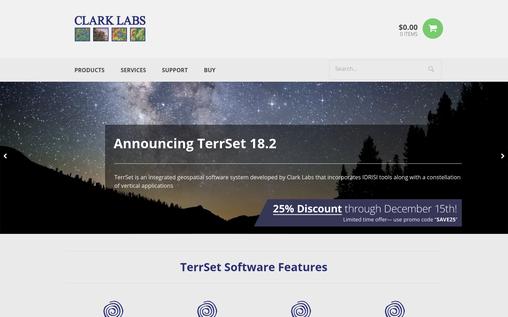
The major features of the software are:
- The software comes with around 300 analytical tools which make analysis of information easy.
- It has an inbuilt image processing system to enhance, restore, transform or classify remote images.
- Climate change modelling and earth trend modelling are possible with the help of tools supplied by this software.
- GeOSIRIS allows maps to see the impact of national level REDD programs.
8. Bentley Maps
Bentley Maps is a 2-D and 3-D solution by Bentley Company. The software comes with a variety of features which are designed to make the process of GIS mapping thorough yet easy.
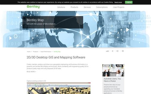
Features
- The software can be used to read engineering and survey data to automatically create a 3D version of any map.
- Allows analysis in 2D as well as 3D for maps.
- Bentley allows the development of analysis tools in C/C++ language if required. Also, this powerful tool makes the customization process easier.
- It allows for publishing of cartographic maps which are readable and understandable by the general public. They can be directly printed with the help of the software.
- Raster data can be analyzed and manipulated using this software. It can be used to add visual effects to existing projects.
9. Map Business Online
Map Business is an online mapping software for businesses which allows the them to use maps and spatial distribution for different purposes.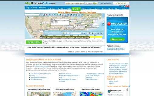
Various features offered by the software include:
- The Business Map Visualization solution allows mapping of different branches, customers and competitors with ease.
- Sales territory mapping is another useful feature.
- Map Business Online provides updated street data and other information required for GIS display of mapping.
- The software allows route optimization for better planning of client visits.
10. eSpatial
eSpatial is an online mapping tool which can be used to develop maps without any hassles. The best thing about it is that it can directly convert Excel sheets into geographical map points.
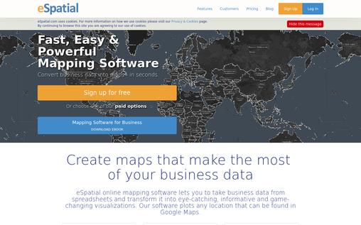
Features include:
- The software allows for collaboration of different people in the development of maps.
- It also helps in the sharing of maps privately or via online channels.
- Printing is one of the options that is available in the software. High-resolution images of embedded maps can be easily printed out for future use.
- It can be used to develop routes, territory maps, color coding of areas, heat maps etc. These functions ensure that the software can serve almost every purpose of the organization.
Conclusion
In the current times, GIS software is essential for most organizations. Whether it be locating different warehouses, competitors or assessing the effect of a specific change, GIS software can be quite helpful in any business.
The software discussed above is the best in the industry. As you choose keep in mind the particular needs of your business.
You May Also Like:-